Experts in All Things Botany
Spectrum’s team of experienced botanists have conducted flora and vegetation assessments and surveys all over the state of Western Australia, including the Pilbara, Kimberley, Western Deserts, Mid-west, Geraldton Sandplains, Swan Coastal Plain, Goldfields and the South West. Under the Environment Protection and Biodiversity Conservation Act 1999 (EPBC Act), “environment assessments are undertaken to enable environment and heritage protection and biodiversity conservation”.
Our Flora & Vegetation Services
Reconnaissance Survey
Structural vegetation community mapping and significant flora and weed inventory.
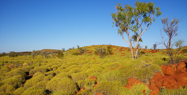
Reconnaissance level flora and vegetation surveys are conducted to gather broad information about a survey area, generally for areas where flora and vegetation are well known, or potential impacts are unlikely to affect any significant flora or vegetation values.
Reconnaissance assessments use relevé sampling – non-spatially explicit observations of the most dominant species, their cover, and height. The data is used to produce maps of vegetation communities. Known significant flora and weeds are also sampled.
Contact us to find out how we can assist with your next Reconnaissance Flora & Vegetation survey.
Detailed Survey
Floristic vegetation community mapping and comprehensive flora inventory for baseline assessments.
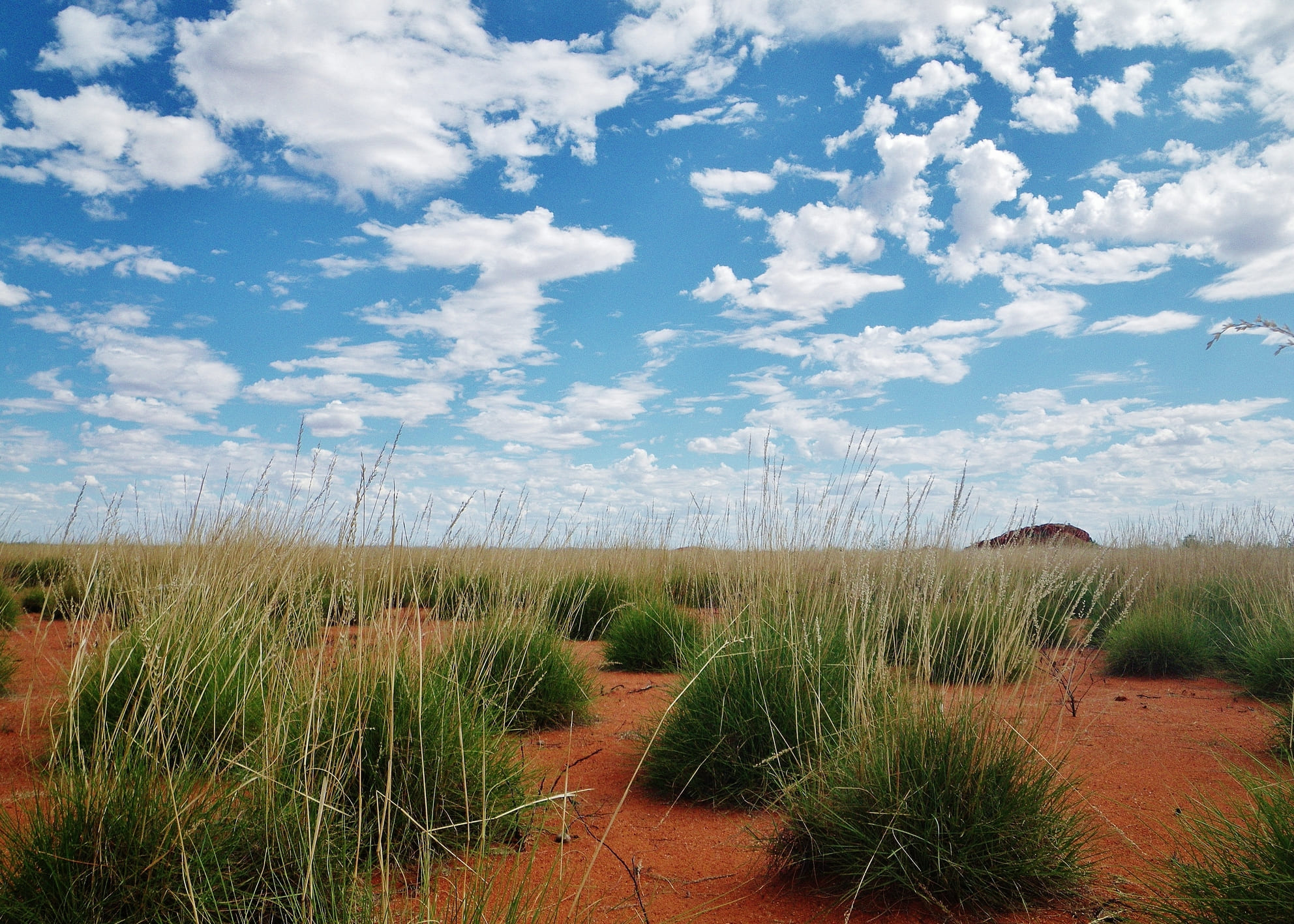
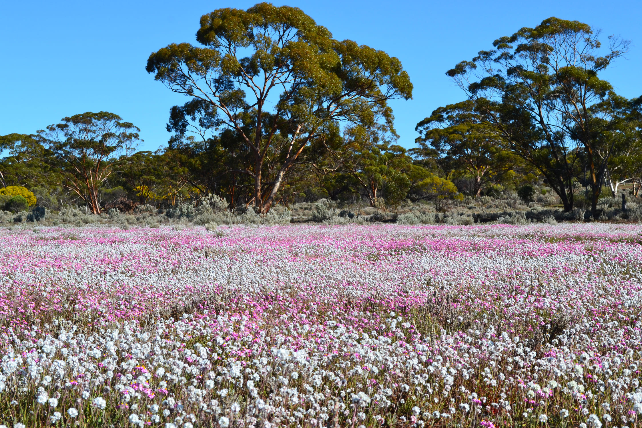
Detailed level flora and vegetation surveys are conducted to gather comprehensive information about a survey area, generally for areas where there is less survey effort available, or proposed impacts are likely to be significant.
Detailed assessments use quadrat based sampling which includes observations of all species within a bounded area, their cover, and height. The data is used to undertake floristic analysis and produce maps of vegetation communities. All encountered flora species are sampled, including significant flora and weeds.
Contact us to discuss your next Detailed Flora & Vegetation Assessment.
Targeted Survey
Threatened & Priority Flora, Threatened & Priority Ecological Communities (TEC/PECs) and weed assessments.
Targeted significant flora and vegetation surveys are typically required when a project or activity has been identified as potentially impacting on a Threatened or Priority species or community and are often taken in addition to a Detailed or Reconnaissance level survey. Additionally, targeted surveys may be conducted to ascertain the presence and abundance of invasive species/weeds.
Spectrum experts are combining on-ground targeted surveys with sophisticated, whole-of-site remote sensing to detect and quantify species of interest.
Targeted surveys typically involve trained botanists walking survey transects through likely habitats to sample the landscape in a structured manner. Spectrum are also experts at applying Species Distribution Modelling (SDM), to statistically determine the most likely areas of occurrence within the study area, to minimise survey effort whilst maximising observations.
Contact us to see how we can help with your next Targeted Flora Survey.

Flora & Vegetation Monitoring
Rehabilitation, riparian, vegetation health, and Threatened and Priority Ecological Communities.
Flora and vegetation monitoring is often a compliance requirement when there is the potential for anthropogenic activities, such as those associated with mining, to impact the local environment. This may include de-watering and re-watering activities, leaching from contaminated sites, or for rehabilitation monitoring. Monitoring is undertaken to ensure the flora and vegetation are not being impacted, or is developing at a satisfactory standard.
Flora and vegetation monitoring programs vary according to the nature of the risks, but may include quadrat, transect, and/or relevé sampling, along with quantitative and qualitative measures of plant health & condition. Remote sensing methods are often the most effective and informative means of monitoring vegetation condition or rehabilitation development through time, and Spectrum are world leaders in this field.
Contact us to discuss the most appropriate Flora & Vegetation monitoring program for your site.
