Eyes on the Ground, Eyes in the Sky: Mapping Weeds with Precision in Pilbara’s Harsh Terrain
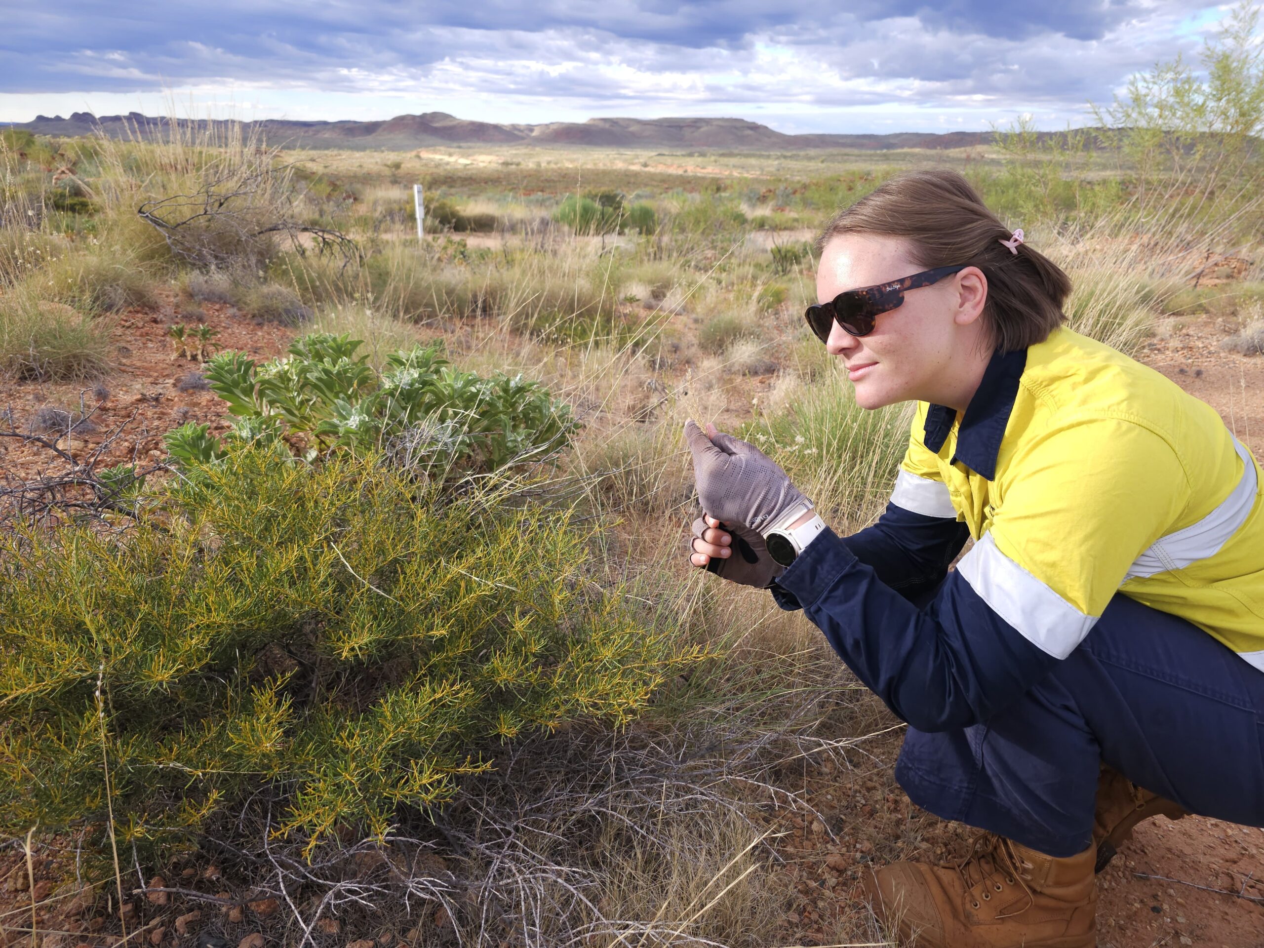
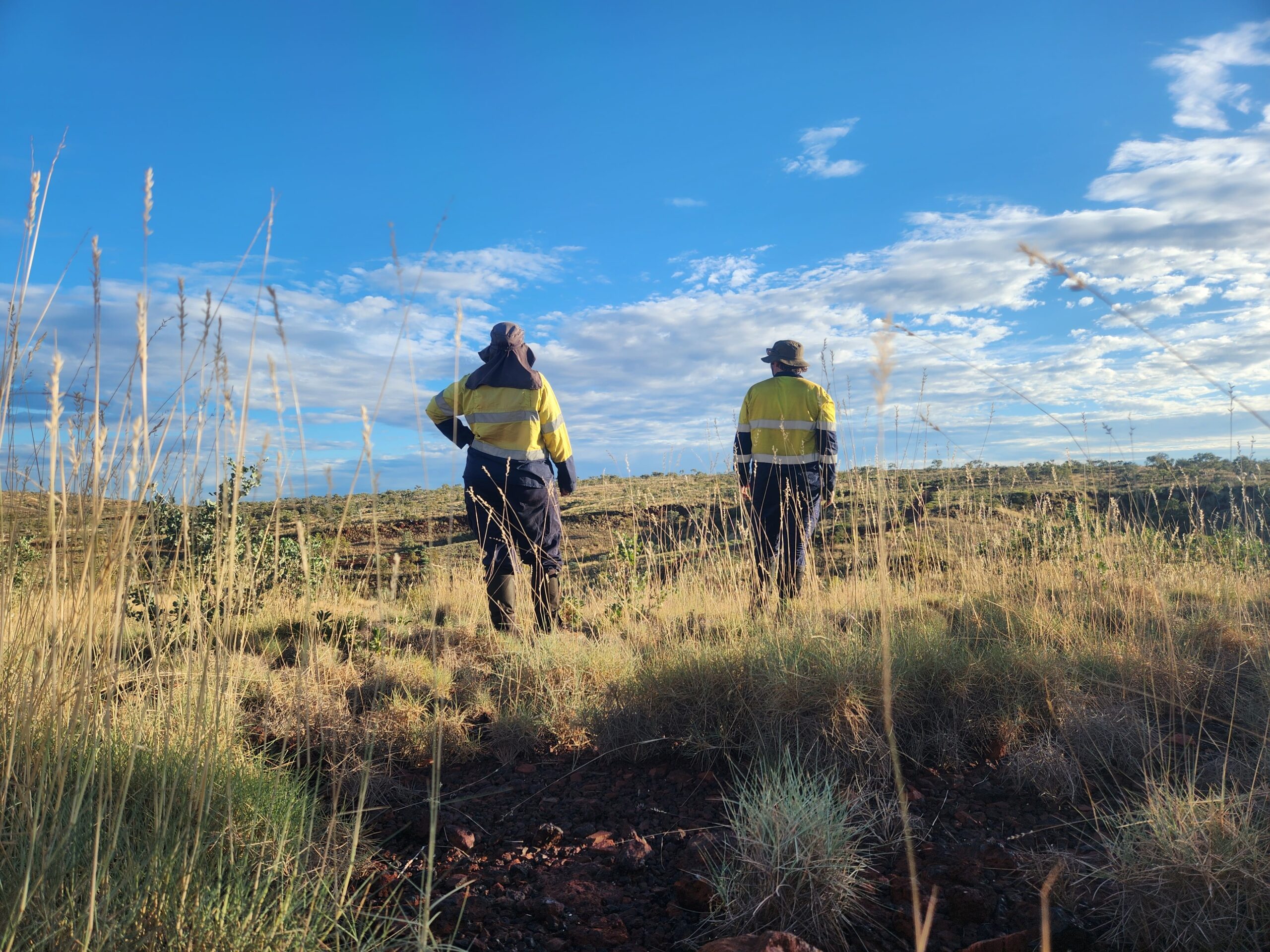
Our team has just wrapped up one of this year’s weed monitoring survey across several sites in the ruggedly beautiful Pilbara region. We focused on long-term quadrat sites designed to track changes in weed species composition and density over time. Using standardised survey protocols, we carried out detailed, repeatable assessments to ensure year-on-year data consistency.
This data plays a crucial role in understanding ecological trends and shaping adaptive management strategies to reduce the impact of invasive species in arid landscapes.
In a significant step forward, we also integrated remote sensing technologies into our workflow. By combining high-resolution aerial imagery with on-ground verification, we were able to map weed distribution at both the quadrat and landscape scale. This dual approach enhances detection accuracy, supports spatial modelling, and helps reveal broader patterns of weed spread across the site.
Together, these tools allow us to better target control efforts and contribute to more strategic, informed land management decisions in complex, arid environments.